Route data
Difficulty: Difficult
- Route number: 390
- Length: 102.84 km
- Duration: 6.5 Hours
- Height difference (+): 1661 m
- Height difference (-): 1672 m
- Difficulty:
- Technical skills:
- Physical effort:
- Landscape:
- Highest point: 854 m
- Lowest point: 63 m
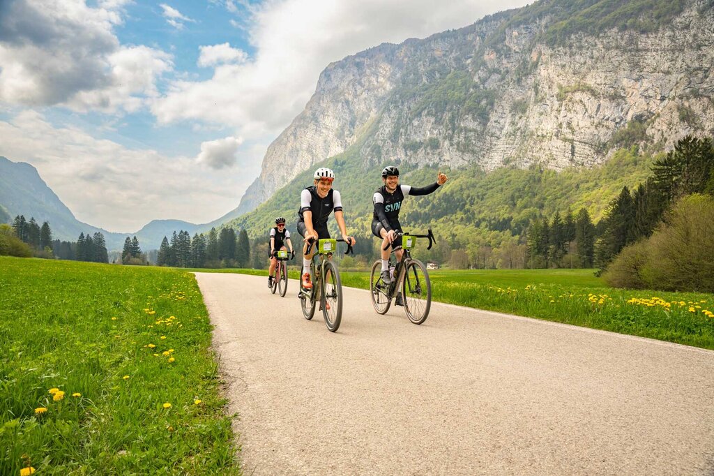
By taking part in the Maxxis Gravel Garda Trentino - Long Track 100 km long and 1,750 m of altitude difference, you can admire breathtaking views and enjoy Trentino specialities at the refreshment points.
At Maxxis Gravel Garda Trentino – Long Track everyone can decide whether to tackle it as a race or as a tour. On the 100 km route the time will only be taken once, everything that happens in between does not count towards the ranking. So there is plenty of time to chat, ride together and enjoy the breathtaking nature of Lake Garda. Of course, you don't have to ride fast on the stages. Only those who want to move up in the rankings or test themselves, give full throttle on the four timed stages.
The aim here is clear: to experience and enjoy yourself together with your friends while savouring the food of the region!
How to get
The main towns in Garda Trentino - Riva del Garda, Arco, Torbole sul Garda, Nago – are connected by several urban and intercity bus lines which will take you to the starting point of tours or in the immediate surroundings.
You can also get to Riva del Garda and Torbole sul Garda by the public ferry service.
Up-to-date information on timetables and routes.
Safety guidelines
Safety Tips
- Always wear your helmet.
- Plan your ride.
- Obey the road signs, stop at traffic lights and do not ride on the wrong side of the road.
- You share the trail with other users. Yield right of way to hikers.
- Respect public and private property.
- Do not cycle solo in remote areas.
- Make sure your bike lights are working.
This information is subject to inevitable variations, so none of these indications are absolute. It is not entirely possible to avoid giving inexact or imprecise information, given how quickly environmental and weather conditions can change. For this reason, we decline any responsibility for changes which the user may encounter. In any case, it is advisable to check environment and weather conditions before setting out.


